Ending 8th Aug, 2023 16:00
Timed - Militaria, Naval and Maritime Auction

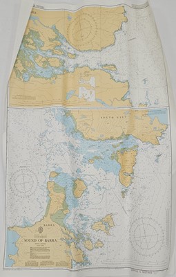

A collection of Hydrographic Office Admiralty Chart maps, circa early 1990s, chiefly covering Northern Irish and Western Scottish Isles coasts. Includes details such as 'submarine exercise area' etc. These maps were used by RM and UK SF for exercise planning (25)
Sold for £40

