10th Nov, 2022 10:00
Books, Manuscripts & Maps Auction

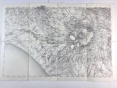
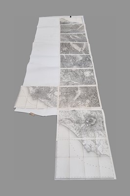
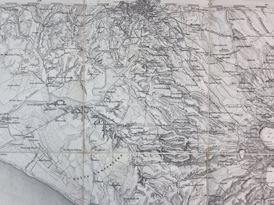
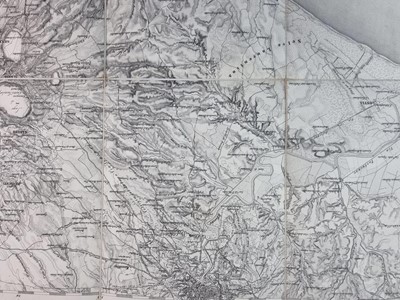

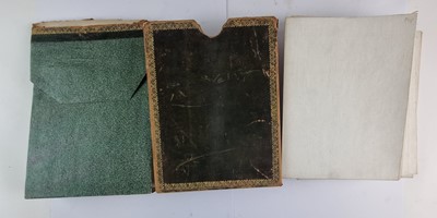
MAP OF ITALY. Kirchenstaat and Toscana (Papal States and Tuscany).
MAP OF ITALY. Kirchenstaat and Toscana (Papal States and Tuscany). 10 sheets in a slipcase circa 1820. Each sheet is 474mm by 716mm and is dissected in 8 sections on linen. Maps are numbered G9 - G17 and F15. Map extends from Rimini on the Adriatic Coast in the north down to Port D'Anzio and Nettuno (south of Rome) on the Mediterranean. Whole map is approximately 3780mm long. In green morocco slipcase.
Sold for £90

