6th Oct, 2021 10:00
Antiques, Interiors & Books Auction
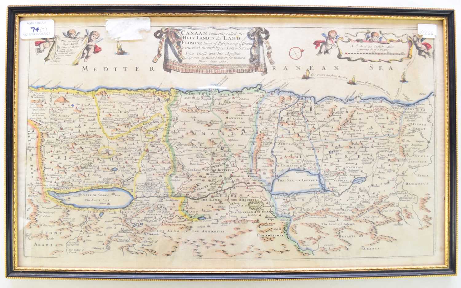
RICHARD BLOME, Map of the Holy land 1687
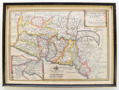
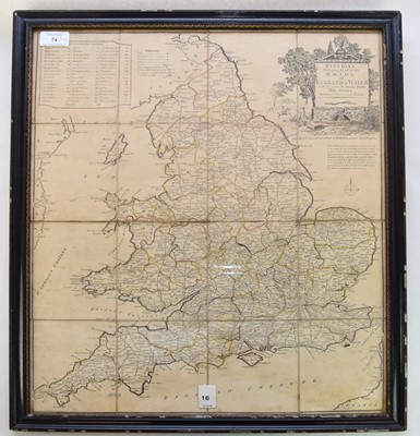
RICHARD BLOME, Map of the Holy land 1687; a French map of the Holy Land by Nicolas de Fer, 1705; Kitchen's map of the Roads of England and Wales 1796, dissected on linen, John Ogilvy's strip map of the road from Islip in Oxford to Bramyard in Hereford, circa 1675; a map of Cumberland by Henry Teesdale 1831; Turkey and Hungary by Thomas Kitchen 1783; and a French map of Martinoque. All framed and glazed (7)
Sold for £180


