10th Nov, 2022 10:00
Books, Manuscripts & Maps Auction

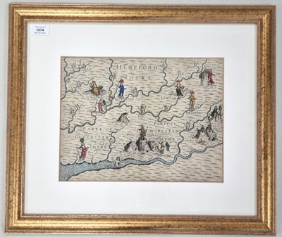

DRAYTON, Michael, Map of Herefordshire and part of Gloucestershire and part of Worcstershyre
DRAYTON, Michael, Map of Herefordshire and part of Gloucestershire and part of Worcstershyre showing the principal rivers. 1612 or later. 250mm x 330mm. Hand coloured. In gilt frame.
Sold for £70

